

Archivnummer
BAS 2648
Most Siekierkowski / Wisla
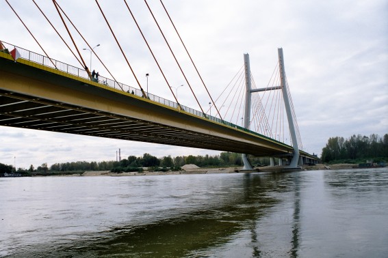
Bild-ID: 6835
Fotograf: wowa44 ( www.vistulabridges.com )
 Fotonutzung ?
Land:
Region:
Stadt:
Lage:
Fluss/Tal:
Verkehrsweg:
Brückentyp:
Material:
Baujahr:
Spannweite:
Gesamtlänge:
Breite:
Brückenfläche:
Fahrbahnhöhe:
Pfeilerhöhe:
Status:
Details:
Info von wowa44:
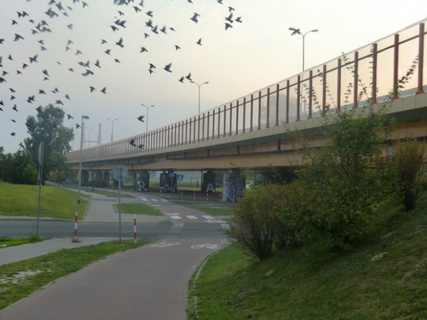
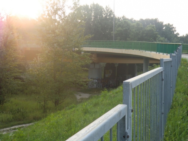
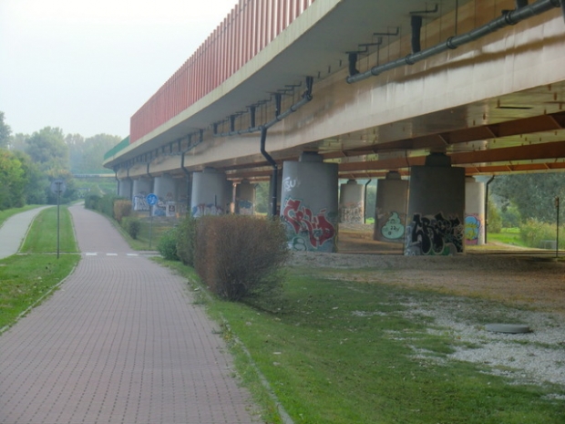
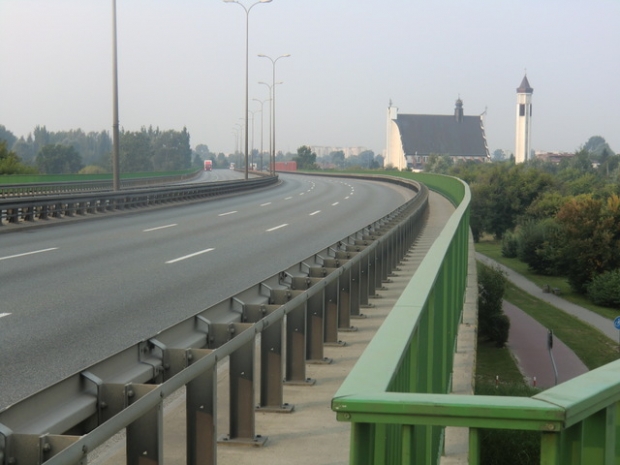
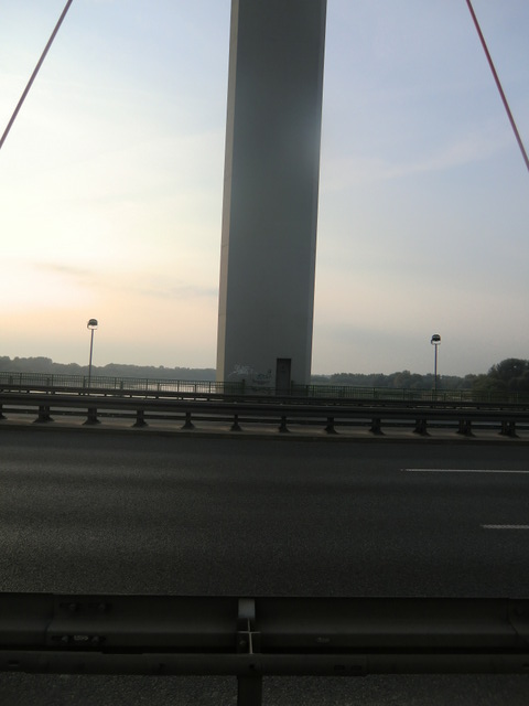
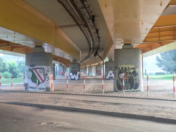
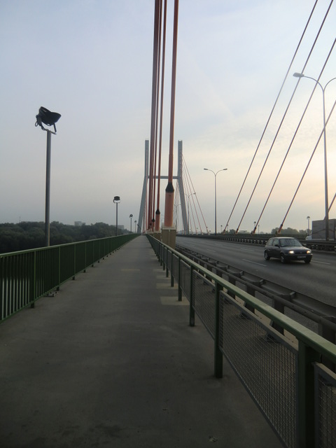
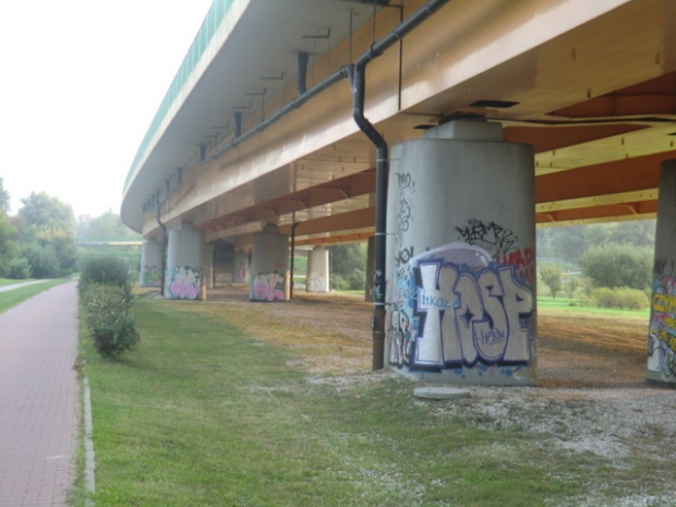
29. The Warsaw Siekierkowski Bridge was opened in September 2002, among high expectations of relieving the clogged city centre from traffic. Unfortunately, neither on the right nor on the left bank the road network is developed well enough to enable smooth traffic. The bridge connects two southern residential districts of Warsaw, previously linked only by bridges in the centre. Quite long for Warsaw (856 m), it is one of the widest Vistula bridges (33 m) and probably the highest one. An imposing construction, especially when illuminated at night. Also offers nice panorama towards the centre of Warsaw. One of the few bridges accommodating also the bicycle path.
Baulastträger:
Baulastnummer:
Lageplan
Breitengrad, Längengrad: 52.2148116667, 21.0930416667
Fotos ( 29 )