BAS 2952
Domitzer bridge
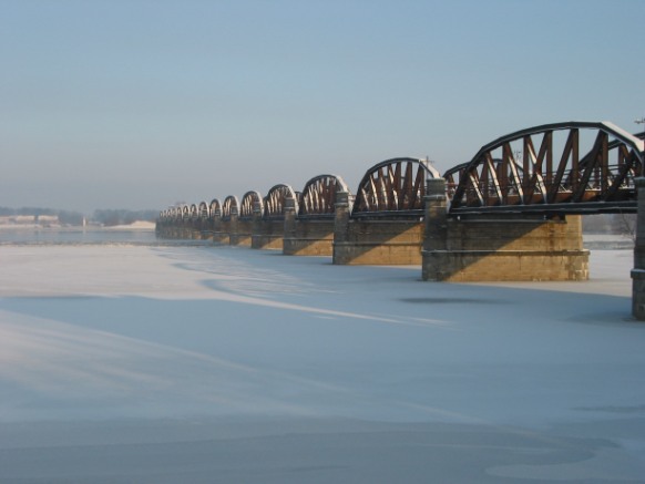
Die Blickrichtung ist ungefähr Nordost (vom Westufer zum ehem. DDR-Ostufer).
Anfang Januar 2003
© Thomas Gaumert
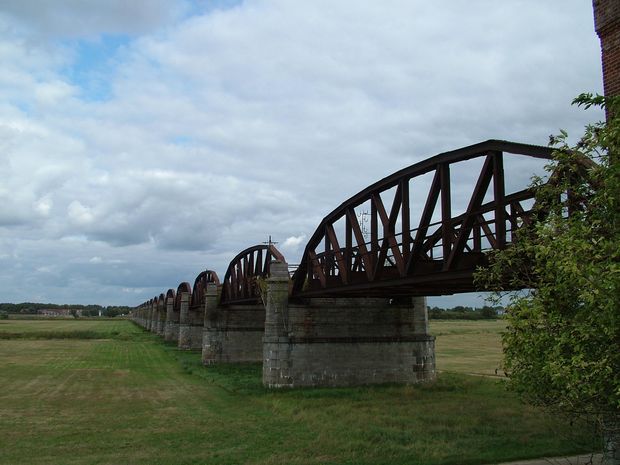
ehem. EÜ bei Dömitz über die Elbe
25.9.09
© Hannelore Bauer
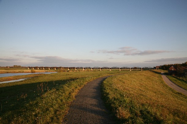
22.10.2007
© Frank Sellke / brueckenweb.de
Germany
Mecklenburg-Vorpommern - Lower Saxony
Dömitz
no longer the Elbe River Road, the remaining residues are in the foothills of the left-hand River Elbe in Lower Saxony, Germany
Elbe, left foreland
a railway line is as before no longer exists between Ludwigslust and Lüneburg
Truss
Steel
8.9.1870 bis 29.8.1873
0.00 m
1050.00 m
0.00 m
A map is loading