BAS 48002
Roman Rhine bridge bad Zurzach
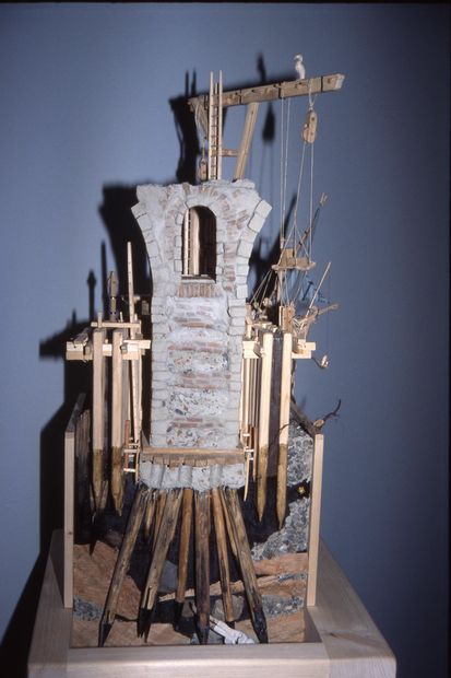
Modell als Versuch einer Rekonstruktion
© Wolf Pabst
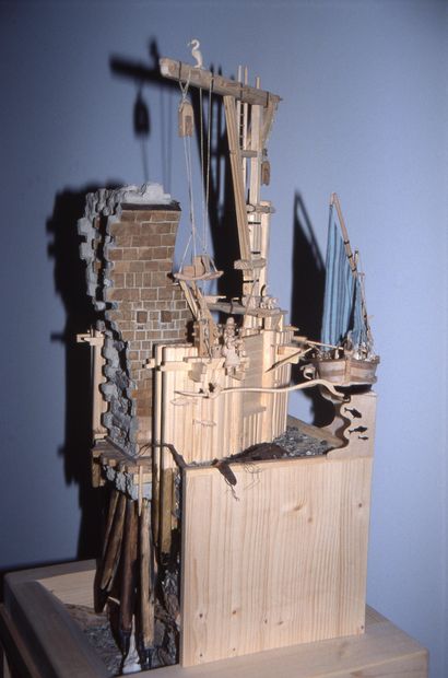
Modell als Versuch einer Rekonstruktion
© Wolf Pabst
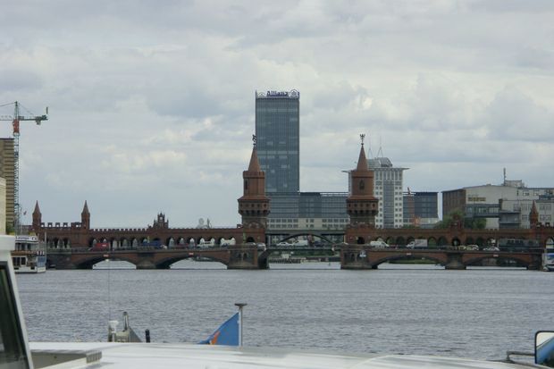
05.06.2009
© Michael Lensing
Switzerland, Germany
Aargau, Baden-Württemberg
Bad Zurzach, Küssaberg
Rhine
Street (Roman road)
möglw. Stone pillar bridge
Stone, wood
368 n.Chr.
17.80 m
136.00 m
0.00 m
A map is loading